Province of Palermo
Study of flood areas of the main waterways in the Province of Palermo and verification of infrastructure in them falling.
Feasibility Study
2006 - 2007
Flood Areas in Palermo district
Project Description
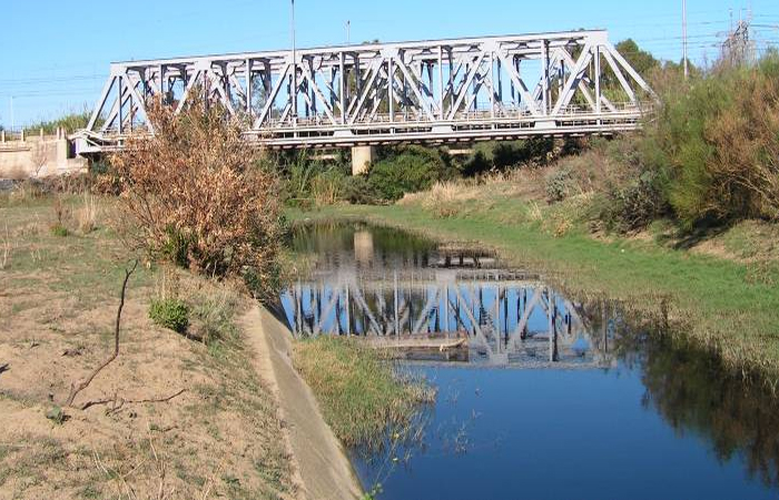
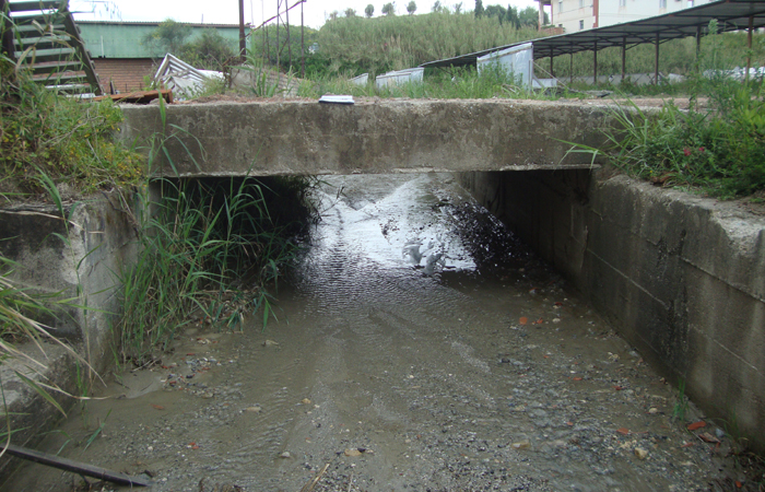
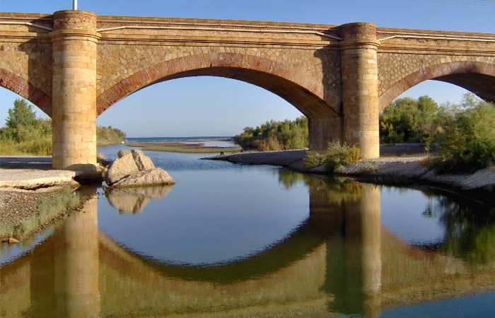
The study was directed to the identification of areas of flooding of 6 major watercourses falling in the provincial territory of Palermo (Jato, Eleuterio, Torto, S. Leonardo, Pollina, Milicia), and interactions with the interfering infrastructure.
The study was divided into 3 phases:
1) Survey: data acquisition (including reliefs on watercourses concerned by the study) and historical series (pluviometric and hydrometric), intended for statistical and probabilistic analysis;
2) Hydrologic and hydraulic analysis: computation of pick flows and determination of areas of flooding. For analysis have been used techniques of Geographic Information Systems (GIS), models HEC-HMS (Hydrologic Modeling System), and HEC-RAS dell’Hydrologic Engineering Center;
3) Determination of risk levels: from overlapping floodwater areas with the maps relating to urban and sub-urban areas have been identified the present risk levels and indicated the possible mitigation measures.


